Geomatics Engineering
Bachelor of Engineering (B.Eng.), Accredited by CEAB – Fall and Winter Entry Available
About the Program
Transform our world as a Geomatics Engineer
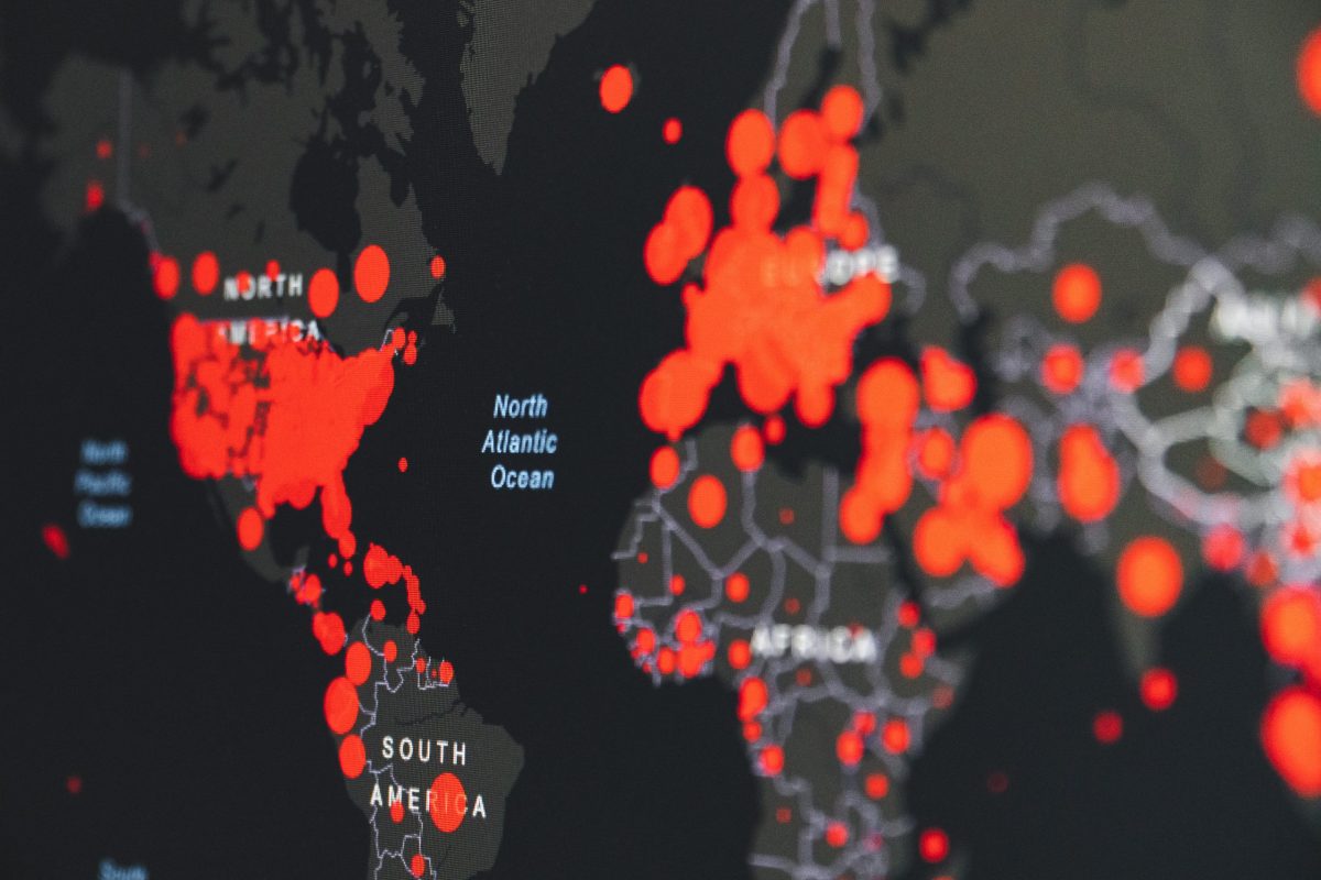
Want to help create smart cities and find solutions to current real-world issues like COVID-19 tracking and autonomous driving?
Geomatics Engineering might be the right career pathway for you.
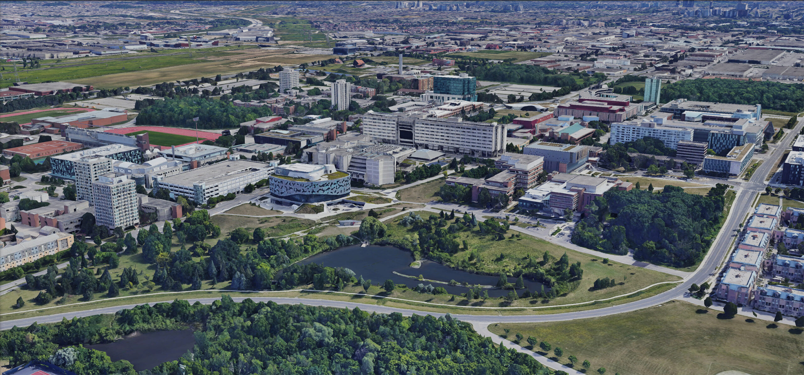
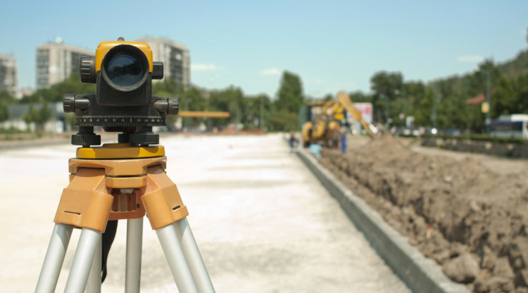
Geomatics is a field that collects geospatial data about the world around us and uses tools like land surveying, remote sensing, GIS systems, geography and computer science to help digitize the world.
This knowledge and data can then be used to decide where buildings, roads and houses are built, power the technology of self-driving vehicles, assist in emergency and disaster management and much more.
The skills you learn will give you the tools and experience you need to have a successful career that will contribute to making a positive change in the world.
If you are passionate about:
Coding
Space
Satellites
Actively working outside
Land surveying
Hiking
3D-Modelling
Navigation and Positioning
Web App Development
We think you’ll Geomatics Engineering!
Program Highlights
We will get you started with the basics in geomatics, surveying and mapping, navigation, sensors, and measurements to assist in building a strong foundation in the discipline.
In the third and fourth year, you will take Geodesy, Advanced Surveying, Global Navigation Satellite Systems (GNSS), Measurement Theory and Estimation, Geographic Information Systems (GIS), Remote Sensing and Photogrammetry, Survey Law and Land Registration Systems, Advanced 3D Techniques, Mobile GIS and Location-based Services, Sensor Integration and Advanced Field Surveys courses. You will learn and use advanced state-of-the-art instruments while putting your professional skills to the test.
The Geomatics Engineering program also offers unique paths toward a career as a Professional Surveying Engineer through the Association of Ontario Land Surveyors and the Canadian Board of Examiners for Professional Surveyors.
To top it off, the co-op program after second year allows you to gain professional experience, giving you a head start towards becoming a licensed Professional Engineer.
Careers in Geomatics Engineering:
Professional Engineer (with international mobility)
Geospatial Engineer
Mission Systems Engineer
Navigation and Position Systems Engineer
Mobile Mapping Specialist
Cadastral Land Surveyor
Skills You’ll Gain
- Expertise in geodesy and gravity, cadastral surveys and land registration systems, global navigation satellite systems (GNSS), photogrammetry and remote sensing, precise engineering surveys, Geographic Information Systems (GIS), 3D modelling, digital elevation modelling, data visualization, wireless and web-based mapping, location-based services and mobile mapping and data analytics
- Extensive experience with a range of conventional and modern surveying and geodetic equipment including total stations, levels, laser scanners, 3D photogrammetric workstations and geodetic GNSS receivers
- Software knowledge includes AutoCAD, MATLAB, GeoLAB, Leica Geo-Office, Columbus Best Fit Computing, ArcGIS, PCI Geomatica, TerraSolid, ERDAS Imagine Photogrammetry
- Add depth by taking part in the co-op program or work with a faculty mentor doing research
Some of our Co-op Employers
- Tarasik McMillan Kubicki
- Toronto Hydro
- Powerstream
- Ministry of Transportation
Featured Courses
A selection of courses from our Geomatics Engineering experience

GIS and Spatial Analysis
You will create digital maps or computer maps that can be used to measure all kinds of important things like measuring distances and elevations or to calculate position-based navigation between two points.
Learn how digital maps are created and visualized and how to ask spatial-related questions and understand the answers. e.g., How far away is something, how is something concentrated in certain locations, where is the “best” place to find or locate something.
Lab experiences include:
- COVID mapping
- Flood maps of the Greater Toronto Area and its impacts

Global Navigation Satellite Systems
Explaining how to position oneself on the Earth and how to represent this position, e.g., x, y, z, or latitude, longitude, height. And satellite navigation systems, such as GPS work and how we use them to determine our position accurately.
How to mathematically position on the Earth’s surface and compute distances, angles, areas, etc. How Global Navigation Satellite Systems work, how to use them, and for what applications.
Lab experiences include:
- Projecting 3D position coordinates on the Earth to a 2D map
- Making cm-level measurements with high-precision GPS equipment for land surveying and engineering surveys
Fundamentals of Surveying
Learn how to collect precise distance, height and angle measurements to determine positions of land boundaries, roads, building, and more.
You’ll apply mathematical concepts, like trigonometry, to make measurements in the field in order to determine the quantities of interest including position, direction, elevation, etc.
Lab experiences include:
- Creating an industry-standard plan of a building on the York Keele campus for planning and construction purposes
- High-performance surveying equipment (total stations, levels), GNSS receivers.
GeoTalks Webinars
Check out our virtual seminar series featuring industry leaders and entrepreneurs in geomatics
Meet one of our Students
Stories
View All View all storiesEnhance your Geomatics Engineering Experience
Available for all of our Engineering programs

Co-op
Work a minimum of 12 months up to a maximum of 20 months while on co-op. You can earn up to 1 year of qualified experience towards your PEng.

Dual Degree
Add a BA in International Development Studies with this Dual Degree. Available for all of our Engineering programs.

BEST Certificate
Through entrepreneurial, academic and experiential achievements during your time at Lassonde, you can earn the BEST Certificate.
Sample First-Year Schedules
ENGINEERING – YEAR ONE COMMON CORE – FALL TERM
| MONDAY | TUESDAY | WEDNESDAY | THURSDAY | FRIDAY |
|---|---|---|---|---|
| Applied Calculus | Renaissance Engineering I | Engineering Mechanics | ||
| Applied Calculus | Applied Linear Algebra | Renaissance Engineering I | Applied Calculus | |
| Applied Linear Algebra | Renaissance Engineering I | Engineering Mechanics | Applied Linear Algebra | |
| Engineering Mechanics | Engineering Mechanics | |||
| Computational Thinking Through Mechatronics | Computational Thinking Through Mechatronics | Computational Thinking Through Mechatronics | ||
| Computational Thinking Through Mechatronics | Engineering Mechanics |
ENGINEERING – YEAR ONE COMMON CORE – WINTER TERM
| MONDAY | TUESDAY | WEDNESDAY | THURSDAY | FRIDAY |
|---|---|---|---|---|
| Materials Science for Engineers | Renaissance Engineering II | Electricity, Magnetism & Optics | ||
| Applied Calculus II | Renaissance Engineering II | Applied Calculus II | Renaissance Engineering II | Applied Calculus II |
| Object Oriented Programming | Object Oriented Programming | Materials Science for Engineers | Object Oriented Programming | |
| Electricity, Magnetism and Optics | Materials Science for Engineers | Electricity, Magnetism & Optics | Electricity, Magnetism & Optics | |
| Discrete Mathematics OR The Earth Environment | Discrete Mathematics OR The Earth Environment | Discrete Mathematics OR The Earth Environment | ||
| The Earth Environment | Object Oriented Programming | Materials Science for Engineers | Electricity, Magnetism & Optics |